Submitted by: Kim Wood
Collaborators: David Clough, ITRT
School: Holladay
Summary
After completing a unit on geography and map skills, the students create a map of their bedroom at home using Pixie. They include a map title, map legend, and compass rose. After their maps are completed, we Skype with an active firefighter who provides us information on how to safely evacuate our homes in case of a fire. After our discussion, the students develop an escape route using the information they obtained from the firefighter. They draw their route in Pixie on their maps. Next, they record their voices in Pixie explaining how they plan on getting out of their rooms safely. Then, they take their own photo using Pixie and put their head on the firefighter “sticker” in Pixie. Finally, we share our maps with our families and submit them to the Fire Marshal in Henrico County.
TIPC Ratings
Approaching – students looked at a variety of maps and examples of fire escape routes. They discussed authoritative sources, concluding that a fireman would be the most authoritative source for planning a fire escape route. They Skyped with a fireman and generated their own questions.
Approaching – although students created their own individual product specific for their home, they received feedback from classmates, their teacher, and a real fireman. Publishing this information online would not have been safe, so they shared it with their families and sent it to the fire marshal.
Approaching – Students solved an authentic problem relating to map skills. They justified their reasons for the paths they chose. It was personally meaningful and potentially life-saving.
Approaching – Students creating meaningful original work within the assignment parameters. They all used the same program, Pixie to create their map.
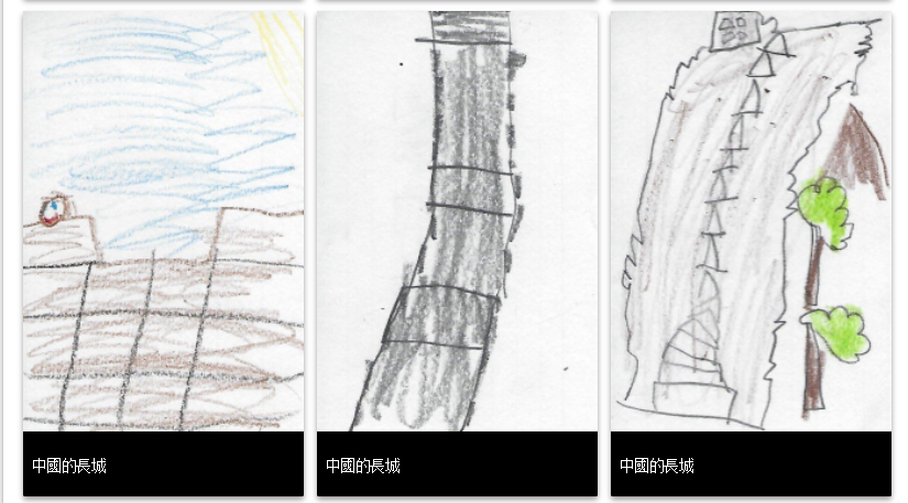
Student Artifact