Submitted by: LeYuani Wilson
School: Greenwood Elementary
Summary
Working as a small group, students will use Google Earth to answer critical thinking questions on the social networking application, Todaysmeet.com. Then, teams will collaborate in order to solve a real world problem and create an original work using Google Earth as a reference. Next, working independently, students will choose a continent to illustrate on Pixie2 and use research materials to add stickers that represent features/characteristics of that continent. Students will reflect on why they chose the specific continent/features/characteristics and record their reflections using the audio tool on Pixie. This will later become a movie that can be shared with their classmates and grade level. Finally, students will print and add their continent to their team’s globe that was painted in collaboration with the art teacher during a lesson on color mixing.
TIPC Ratings
Students will use Google Earth as a research tool in order to acquire and evaluate information about the continents and oceans of the world. Students will also utilize print resources such as trade books, atlas’ and cards for research and information acquisition.
Students will communicate their findings and answers to critical thinking questions on todaysmeet.com, or verbally with the class. They will collaborate within their small group in order to solve a real world problem as a team and create an original work related to that real world problem. Students also collaborated prior to this lesson by color mixing in art class in order to paint a beach ball which will represent a globe of the world. Students were asked to reference a color wheel in order to collaborate on cool color combinations that would represent the world’s oceans.
.
Students will work collaboratively to determine what might happen if Antarctica and Africa slowly began shifting and eventually combined to form one continent, Antafrica.
Students will also be tasked with working collaboratively to name, illustrate, and determine the location, climate, animal/plant life, and culture of a continent that has recently emerged due to the depletion and evaporation of the oceans from world-wide drought and the lack of water conservation.
Students will make predictions regarding a specific continent/country and collaborate with their team to research the answers. Teams will also create an original work related to a real world problem. In addition, students will be given a choice of which continent they would like to illustrate for their team’s globe. They will utilize their researched information in order to add features and characteristics germane to their continent. Then they will add audio reflecting on why they chose that continent and why they chose to add certain specific features. Finally, they will work as a team to create their own unique, yet accurate globe of the world.
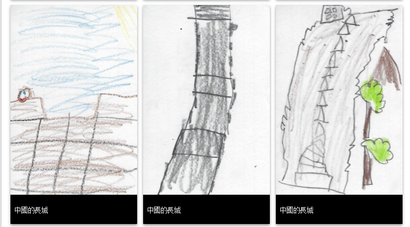
Student Artifact